[ Our Solutions ]


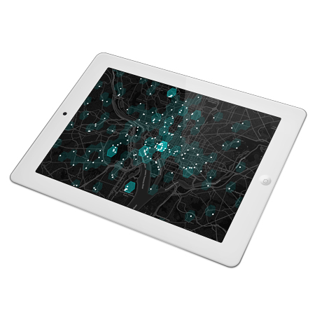
Location Intelligence
We provide our clients with detailed view on their business in geographic context. Linking client data with spatial data and another external sources help us deriving meaningful insight and find new relationships to solve your particular problem and improve your business. Maps have been used to represent information throughout the ages. We use advanced data analysis in combination with cartographic visualization to understand complex relationships instantly. Identifying new opportunities and implementing an effective strategy based on insights can provide businesses with competitive market advantage and long-term stability.
Precision agriculture and viticulture
Drones with advanced sensors and imaging capabilities are giving farmers and winegrowers new ways to increase yield and reduce crop damage. Seeing a crop from the air can reveal new patterns. This new perspective can expose soil variations, irrigation problems, infestations, weak spots and much more. Drones can take multispectral images that can provide farmers or winegrowers with information that aren’t apparent at eye level and detect plant stress before the human eye can. Additionally, we provide our clients with user-friendly web application which allows them to work efficiently with high quality data, manage their field or vineyard and create valuable statistics.

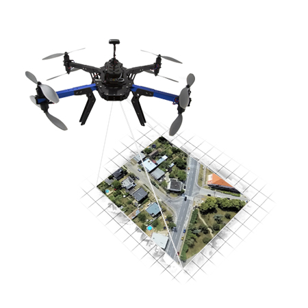
Aerial Imaging
Photos taken from the ground often fail to capture all the necessary details. Aerial photography allows to shoot objects and areas from different perspective and gather far more valuable data. It captures the size of the crowd, road conditions, the extent of disaster and many others. Drones provides a level of insight that’s invaluable to industries or for gathering data for any area that needs to be looked at closely and often. They allow you to get this data cheaply, easily and quickly, with less risk and more frequently and in higher detail than manned flight or satellite imagery.
Real Estate on Map
Buying a real estate is one of the crucial decisions in our lives, usually accompanied by numerous inspections and complicated decision making. Our solution allows the real estate agencies to provide their clients advanced search and visualization tool. We extend classic search by spatial context. Using this approach, clients are able to search for their new home based on its accessibility from schools, public transportation, recreation places and many more. Information about the real estates enhanced by a map visualization opens a new perspective in real estate business.